SPA/03-059/GeoWeb
Geographic information systems based on OpenStreetMap and Google Maps-API
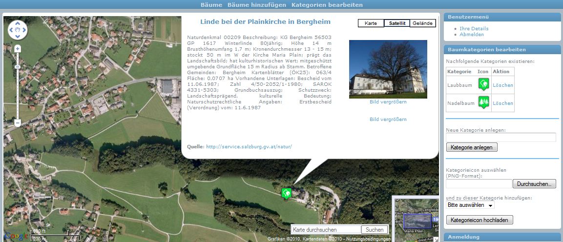
In cooperation with students from a higher technical college known in German as Höheren Technischen Lehranstalt für Betriebsmanagement at the Holztechnikum Kuchl and from a grammar school called Bundesgymnasium Zaunergasse in Salzburg we will develop special geographic information systems based on OpenStreetMap and the Google Maps-API. As a first preproduction system a community platform „Historical trees and forests“ will be developed. This internet portal allows registered users to mark the position of historical trees, natural monuments and forests worthy of protection. It is possible to load images and meta-data for these geographical objects.

Based on the preproduction system further geographic information systems will be developed and implemented.
Acknowledgement: The project is supported by Sparkling Science, our twinned schools and the Salzburg University of Applied Sciences!


